Google Maps now shows air quality and wildfire information

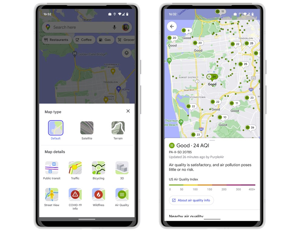
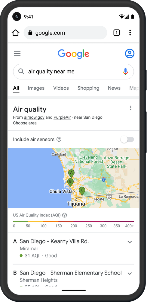
Google Maps is aiming to help you only breathe clean air, therefore it's introducing a new air quality layer on Android and iOS in the United States. This will tell you what to expect when it comes to air quality: whether it's foggy, smokey, dirty, good, or simply beautiful. With this information at your fingertips, you can make better informed decisions about whether or not to go outside and for how long if you do so. When the data was most recently updated, you'll see AQI numbers as well as recommendations for outdoor activities, when they were last updated, and links to learn more.

The information is based on well-known government agencies, including the Environmental Protection Agency in the United States (EPA). PurpleAir is a low-cost sensor network that can give you a hyperlocal view of conditions, and its maps show air quality data. To include this air pollution layer to your map, touch the button in the top right corner of your phone's screen, then choose Air Quality under Map details. The data from PurpleAir may also be seen on Nest displays and speakers.

There's also a wildfire layer available in the United States, as the fire season is getting closer. This allows you to research active fires in the region using Google's partnership with the National Interagency Fire Center (NIFC). You may just search for "wildfires near me" and check out all of the relevant details, including air quality data, in the coming months. Google search will also incorporate smoke data from NOAA throughout the US during this time period.
Source: blog.google