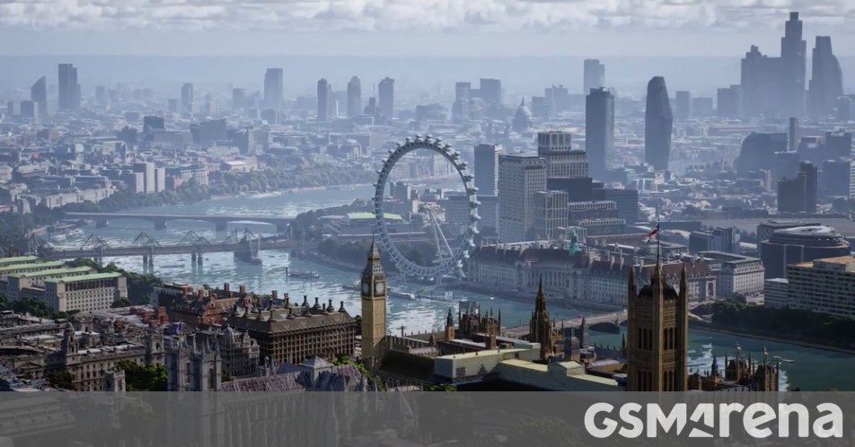
Google Maps immersive view launches this year to give you the vibe of a place from afar

Google Translate wasn’t the only app/service that got some new features announced at Google I/O today – so did Maps. Google Maps will soon get an immersive view feature. The name of the service is quite self-explanatory. It should work initially for LA, London and New York as well as San Francisco, San Francisco, Tokyo and San Francisco. More cities will follow.
So, what’s all the fuss about? Immersive View takes Street View and aerial photos to the next level. It combines them to give you a sense of the atmosphere in a particular place, no matter where you are. Let’s suppose you would like to “soar above Westminster” to view the area and marvellous architecture, such as Big Ben. Immersive view lets you do just that.
With a time slider you can check out what the area looks like at different times of day and in various weather conditions, and thus figure out where the busiest spots are. When you go down to street level you can see information like live busyness and nearby traffic, and even look inside restaurants and other places to get an idea of what they’re like before you go.
Immersive View should be compatible with “just about every phone”, thanks to Google’s unique ability to combine billions of Street View images and aerial photos to make “a rich digital model” of the world.

Eco-friendly routing is coming soon to Europe after its initial debut the US and Canada, while Live View is now available for third-party app developers. The feature called Live View uses AR to show directions and arrows as well as navigation when you are walking. Lime and Accenture use this feature to assist concertgoers and sports enthusiasts at Marvel Stadium. There will be many more uses.
Source: www.gsmarena.com