Europe's lunar lander needs foreign maps to land on the Moon

Europe is building a €862M Moon lander but doesn't have detailed enough maps to land it safely — so it's relying on data from the US, India, and China instead. ESA's Argonaut spacecraft, designed to deliver up to 1,500 kg of cargo to the lunar south pole, will depend on foreign topographic databases for its design phase and possibly its first mission in 2030. The gap reveals a quiet but significant vulnerability in Europe's push for independent access to the Moon.
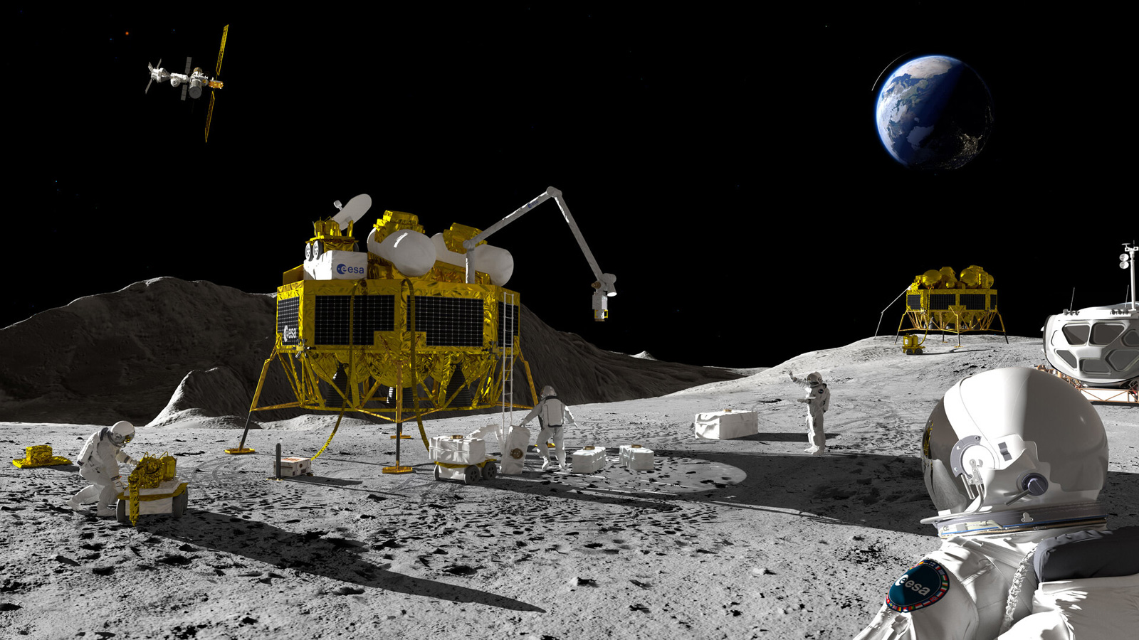
The lander
Argonaut — formerly called the European Large Logistics Lander — is being built by Thales Alenia Space, with an industrial consortium including partners from France, Germany's OHB, and the UK. Its job is to act as a regular freight service to the Moon every two to three years, hauling supplies, scientific instruments, and rovers to support NASA's Artemis astronauts. On the first flight, the target landing accuracy is 250 metres; by the third, ESA wants that down to 50 metres. Hitting those targets requires extremely detailed surface maps of a region that is perpetually shadowed, heavily cratered, and largely uncharted at the resolution needed.
The map problem
Three foreign programmes currently hold the best lunar south pole data. NASA's Lunar Reconnaissance Orbiter has been shooting imagery at 0.5 metres per pixel since 2009 — still the global standard. India's Chandrayaan-2 goes sharper, with some instruments capable of around 25 cm per pixel. China's Chang'e missions have built their own solid database. ESA has none of this at the resolution Argonaut needs, and per SpaceNews, the agency has formally acknowledged it will seek external data to fill the gap.
The cost of acquiring or licensing that data has not been disclosed publicly.
The fix — and why it's too late for 2030
ESA is not ignoring the problem. The agency is developing Moonraker, a dedicated LiDAR mapping orbiter aimed at building an independent 3D database of the lunar south pole. Berlin-based NUVIEW is leading the Phase A feasibility study, which was selected in mid-2026, according to Geo Week News. But Phase A is only the first step in a long development cycle — Moonraker will not be operational before 2030, which means it arrives after Argonaut's debut flight, not before it.
For now, ESA's position is pragmatic: use foreign data to stay on schedule, build independence later. That keeps the 2030 launch viable, but it also means Europe's first serious Moon lander will touch down using someone else's directions.